
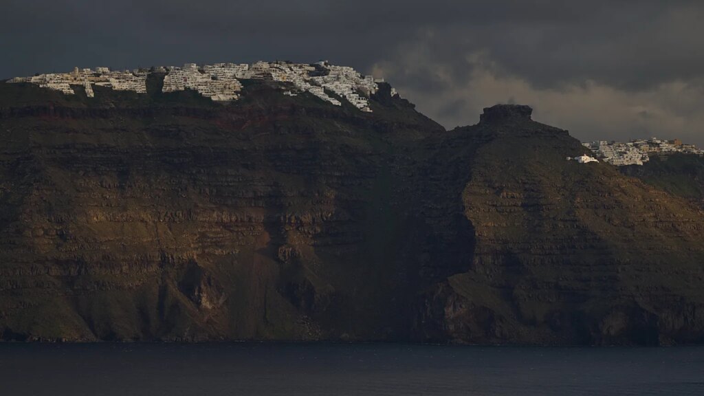
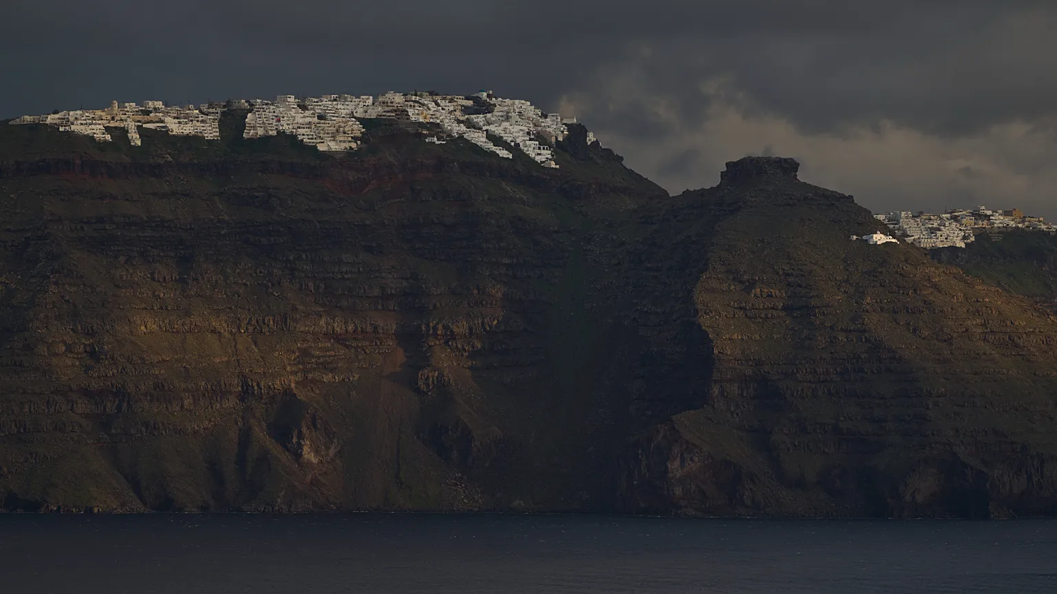
The new limitations, including the closure of a hiking trail, might stay effective until 2027 as experts express concerns about volcanic and seismic dangers.
Greek authorities have introduced updated Civil Protection protocols for Santorini, acting on advice from scientific panels overseeing seismic and volcanic threats, following a recent extraordinary session of the Standing Scientific Committee for Seismic Risk Assessment and Seismic Risk Reduction.
 ADVERTISEMENT
  ADVERTISEMENT
The new measures primarily regulate access and presence in certain zones due to potential geological hazards and will remain valid until 31 March 2027.
Key regulations involve managing traffic in Santorini’s main port to prevent congestion and decrease the time vehicles remain there, prioritizing safety concerns.
Additionally, officials have released a map banning occupancy in designated island areas considered high-risk in the event of volcanic-induced earthquakes.
Authorities clarify that these precautions could be altered or revoked immediately if significant natural events like earthquakes or severe weather occur, following reevaluation by relevant committees.
This update presents another challenge for the island’s tourism sector, which represents approximately 10% of the total visitors to Greece.
In the previous year, tourism sharply declined during summer months due to nearly continuous local tremors. Past restrictions included school closures and barring residents from coastal regions.
«The government’s main priority as the summer season begins is to safeguard both permanent inhabitants and seasonal visitors,» stated Vassilis Kikilias, Greece’s Minister of Maritime Affairs and Insular Policy.
What do the new restrictions involve?
The Santorini Caldera is surrounded by cliffside towns such as Oia, Fira, Firostefani, Imerovigli, and Akrotiri, all with views of the scenic Aegean Sea and the Island’s volcano.
Visitors often embark on hiking excursions to Nea Kameni to observe volcanic phenomena up close.
Under the recently imposed regulations, traffic control measures have been established at Athinios Port and nearby roads to mitigate congestion during arrival and departure of ships, as reported by Greek City Times.
A restricted area has also been enacted at the Old Port of Fira and adjacent upper zones, forbidding visitor access, though cable car operations and the Fira–Old Port walking path remain unaffected.
Moreover, vehicle movement is banned in Ammoudi along the municipal road leading to the port from the Oia ring road junction, except for a limited number of passenger vehicles authorized by the Municipality of Thira to facilitate visitor transportation.
The hiking trail from Ammoudi to Agios Nikolaos is now closed to the public.
Given the island’s intricate proximity to seismic and volcanic activity, these restrictions could remain until at least 31 March 2027.
Island with a history of volcanic eruptions
During the “Santorini swarm” of earthquakes last year, airline seat availability declined by 26% between January and June 2025, according to Yannis Paraschis, president of the Association of Greek Tourism Enterprises (SETE).
Antonis Pagoni, president of Santorini’s hoteliers, emphasized the critical role of tourism in the island’s and Greece’s broader economy when speaking to Euronews.
«Overall visitor numbers have dropped by about 20%-25%. Currently, the decrease is in the range of 25%-30%,» he noted during that period.
«This represents a significant fall in a destination like Santorini, which attracts over 3 million tourists annually. It accounts for 10% of Greek tourism. There is uncertainty whether Greece can sustain the loss of this revenue.»
The famed destination, which draws millions every year, consists of the islands Thira, Thirassia, Aspronissi, Palea, and Nea Kameni, located 128 nautical miles southeast of mainland Greece. Historically named Strongili, meaning “the round one,” it was originally one continuous circular island surrounding a caldera formed by volcanic collapse.
In 1600 BCE, the island fragmented following the Minoan volcanic eruption, one of the strongest known eruptions in history. Subsequent smaller eruptions shaped the archipelago’s current form and created the volcanic islands Nea Kameni and Palea Kameni.
In 1956, an earthquake near Amorgos, around 50 kilometers away, along with its aftershocks, resulted in 53 fatalities and 100 injuries. Approximately 35% of the island’s structures were destroyed, and 45% sustained at least some damage, according to Greek Herald reports.