
Following allegations, the popular mobile game Pokémon GO has come under examination regarding the use of images captured in-app to train AI models created by its developer, without the players’ permission. Yet, these images were not gathered entirely without user consent.
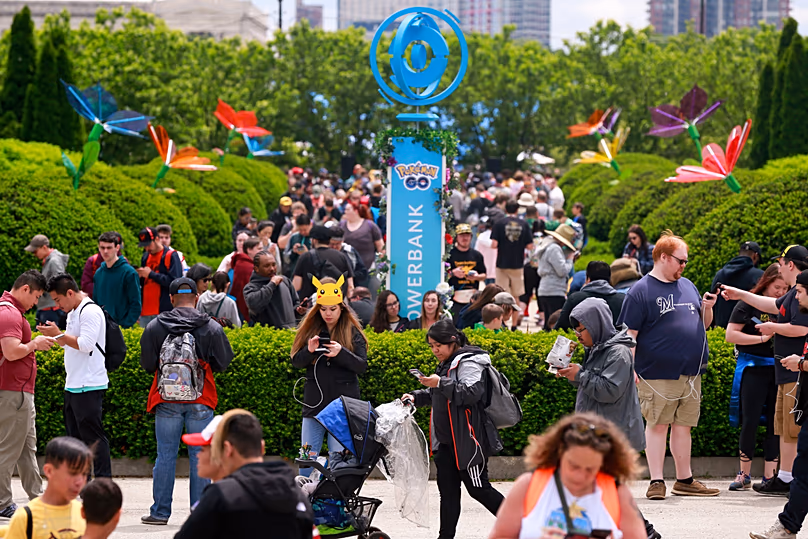
Since its 2016 release, Pokémon Go rapidly gained popularity throughout Europe and worldwide, transforming the streets of Brussels, Paris, and Rome into interactive augmented reality zones where players sought virtual beings like Pikachu, Dragonite, and Eevee.
 ADVERTISEMENT
  ADVERTISEMENT
Even in 2024, the app remains widely used, boasting over 100 million players according to Scopely, the parent company of the game’s developer, Niantic. It continues to grab media attention and spur various online rumors.
MIT Technology Review reports that Niantic Spatial, which separated from Niantic in 2025 following the sale of its gaming branch to Scopely, has utilized gameplay images to train its systems aimed at constructing precise 3D maps of actual environments.
On the social media platform X, posts garnering millions of views have suggested that without players’ knowledge, Niantic might be exploiting visual data captured during their casual walks to develop navigation tech for delivery robots.
Nevertheless, this data collection was not performed entirely unbeknownst to users, nor was it merely accumulated during casual Pokémon hunting excursions.
Does the game request permission to enhance its AR environment?
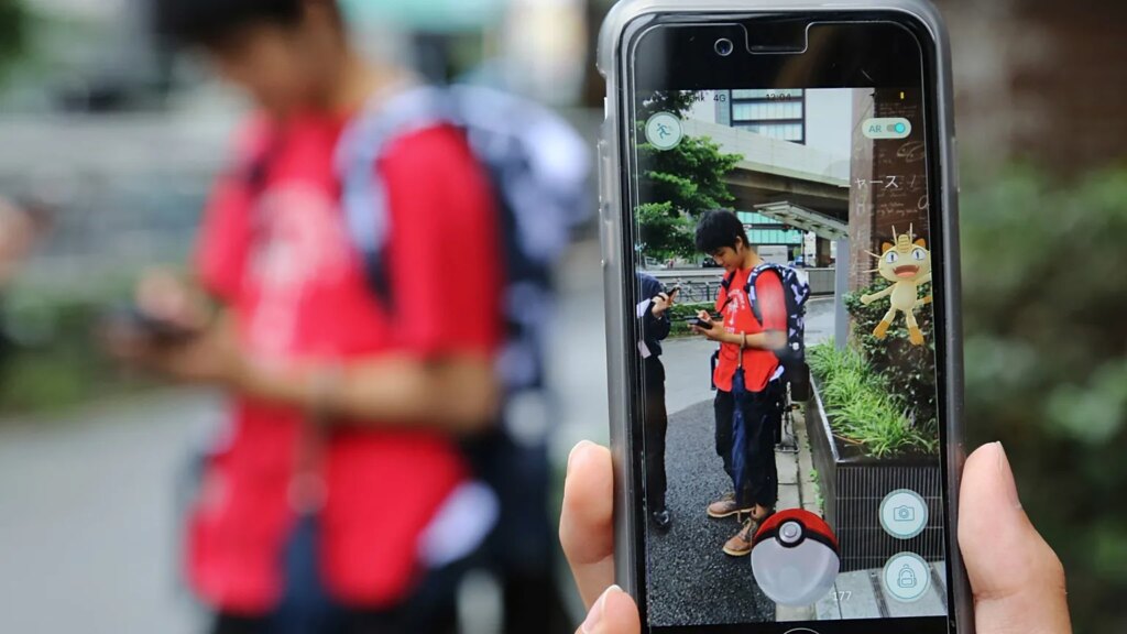
While Pokémon Go has employed augmented reality (AR) to immerse players in the Pokémon world since its inception, Niantic introduced specific AR mapping tools only in 2020. This feature permits players to scan locations and objects by physically moving around them while recording with their phone cameras.
Importantly, this capability is unlocked only after reaching level 20 in the game, meaning images are not captured passively as the player moves. Instead, engagement with this function requires active choice by the user.
Niantic informed Euronews’ fact-checking service, The Cube, that users must deliberately opt to submit anonymous scans and videos of public places to assist in enhancing its Niantic Spatial Visual Positioning System (VPS). Participation is fully voluntary, with users choosing to scan specific landmarks such as statues or prominent features.
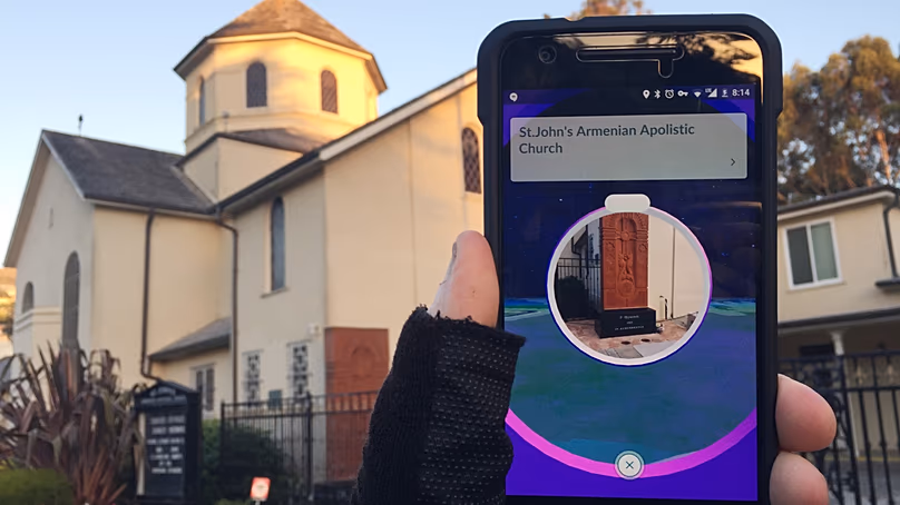
The Cube’s testing revealed that when pointing a phone camera at a statue in Brussels’ Parc du Cinquantenaire, a notification appears stating that the user is contributing to augmented reality mapping, and that the gathered data is shared with a third-party provider.
This notification further clarifies that the captured information is used to generate 3D models of real-world sites and support the advancement of associated technologies and services.
Niantic’s Terms of Service explain this arrangement in the section «Rights Granted by You – AR Content», where users consent to Niantic’s non-exclusive rights to use images taken through the AR scan feature to improve their offerings.
A digital 3D replica of the environment
MIT Technology Review has disclosed that Niantic Spatial regularly employs images gathered from Pokémon GO players in the development of its new technologies. The company told The Cube that it has trained over 50 million neural nets using about 30 billion images.
Niantic created a Visual Positioning System (VPS) that promises «accurate, vision-based positioning and orientation globally, including areas where GPS signals are weak or unreliable.»
This technology has enabled the firm to assemble an exceptionally detailed 3D representation of the actual world.
Nonetheless, Niantic Spatial’s data inputs go beyond augmented reality images from Pokémon GO, incorporating spatial inputs from robots, drones, and satellites, as noted on their website.
Transitioning from Pokémon GO to practical real-world uses
In early March, Niantic revealed a collaboration with Coco Robotics, a provider of urban robot delivery services, to scale up deployment of its spatial AI and VPS technologies.
Coco Robotics operates autonomous robots delivering groceries, electronics, and hot food across cities including Los Angeles, Chicago, Jersey City, Miami, and Helsinki. It has partnered with the online delivery network DashMart since 2018.
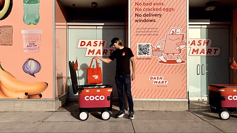
Coco Robotics has launched an upgraded series of sturdier delivery robots tailored for the demands of urban streets. However, until now, these robots have depended heavily on GPS, which often lacks precision in tightly packed urban areas.
Niantic Spatial’s technology aims to solve this limitation. The partnership seeks to embed Niantic’s spatial mapping and VPS capabilities into autonomous delivery robots, improving their navigation through complex city environments.
Utilizing refined 3D maps coupled with vision-based positioning, these robots are then able to traverse city streets with enhanced accuracy when delivering goods directly to consumers.